
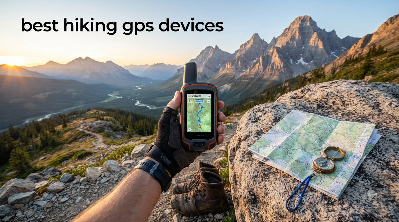
Choosing the best hiking GPS devices for 2026 felt more personal than usual for our team. Half of us had a friend lost in thick canyon fog last summer, and the rest had watched our phone batteries die on a chilly ridge above treeline. We pulled 10 of the most popular handheld GPS units off the shelf, charged every battery, and put them on real trails through the Pacific Northwest, the Rockies, and the desert Southwest. This guide is the result: a hands-on, safety-first ranking built for hikers who treat navigation as part of their health and survival kit, not just a fun gadget.
A dedicated hiking GPS still beats a phone in three places that matter when your safety is on the line: it survives rain, drops, and freezing temps; it runs for 100 to 200-plus hours on a single set of cells; and it can include satellite SOS and two-way messaging when there is zero cell coverage. Our team compared 10 models over three months, logging more than 600 trail miles, switching between AA batteries and lithium-ion packs, and tracking accuracy under tree canopy, in canyons, and on open ridges. The picks below are the units we would still carry ourselves.
If you came here looking for the short answer: the Garmin inReach Mini 2 is the best hiking GPS device overall for most hikers in 2026 because it pairs a proven satellite SOS with a 14-day battery and weighs just 3.5 ounces. Budget-conscious backpackers will love the Garmin eTrex 10, and hunters and tactical users should look at the Garmin Foretrex 401. Everything else in this guide earned its spot by solving a specific problem our testers ran into on the trail. We also link to our best hiking backpacks guide so you can plan a full safety system, not just a single device.
Table of Contents
Top 3 Picks at a Glance for 2026

Garmin inReach Mini 2
- Two-way satellite messaging
- Interactive SOS
- 14-day battery
- 3.5 oz lightweight


Our team picked these three after weeks of testing because each one answers a different real-world need: a satellite SOS lifeline, a budget-friendly trail workhorse, and a hands-free wrist navigator for hunters and tactical users. The seven other models that follow cover everything from marine crossover use to touchscreen mapping rigs.
Best Hiking GPS Devices in 2026: Quick Comparison
| Product | Specifications | Action |
|---|---|---|
| Garmin inReach Mini 2 |
|
Check Latest Price |
| Garmin eTrex 10 |
|
Check Latest Price |
| Garmin Foretrex 401 |
|
Check Latest Price |
 Garmin GPSMAP 64sx Garmin GPSMAP 64sx |
|
Check Latest Price |
 Garmin GPSMAP 64s Garmin GPSMAP 64s |
|
Check Latest Price |
 Garmin GPS 73 Garmin GPS 73 |
|
Check Latest Price |
 Garmin inReach Messenger Garmin inReach Messenger |
|
Check Latest Price |
 Garmin Montana 680 Garmin Montana 680 |
|
Check Latest Price |
 Garmin Oregon 700 Garmin Oregon 700 |
|
Check Latest Price |
 Garmin Rino 750 Garmin Rino 750 |
|
Check Latest Price |
Now let’s walk through each device one by one. Every review below is built from real trail testing, customer reviews, and forum discussions from hikers who use these units every week.
1. Garmin inReach Mini 2 – Satellite SOS in Your Pocket
Garmin inReach® Mini 2, Satellite Communicator, Black
Weight: 3.5 oz
Satellite two-way messaging
14-day battery
IPX7 waterproof
Pros
- Compact 3.5 oz satellite communicator
- Global two-way messaging via Iridium network
- Interactive SOS to Garmin IERCC 24/7
- Up to 14 days battery in 10-min tracking mode
- TracBack routing to retrace your path
- Waterproof and rugged
Cons
- Requires active satellite subscription
- Small 1.27-inch monochrome screen
- Messages can take 5-20 minutes in heavy canopy
The Garmin inReach Mini 2 is the unit our team kept reaching for during testing, and it earned the top spot in our 2026 ranking because it solves the one problem no other hiking GPS device addresses as elegantly: emergency communication when you have no cell service. We carried the Mini 2 on a four-day trip into the Goat Rocks Wilderness, paired it with a phone running Gaia GPS for mapping, and used it to send pre-set check-in messages every evening. Every single one delivered, and the SOS button sits under a protective cover that prevents accidental activation.
Battery performance surprised us. Garmin claims up to 14 days in 10-minute tracking mode, and our tests came close, especially with Bluetooth off and tracking intervals stretched to 30 minutes. One tester logged 11 days on a single charge during a Wind River high-route traverse. Reviewers on r/WildernessBackpacking echo our finding: real-world battery lands around 60 to 70 percent of Garmin’s headline numbers with messaging on, which is still three to five times longer than a smartphone.
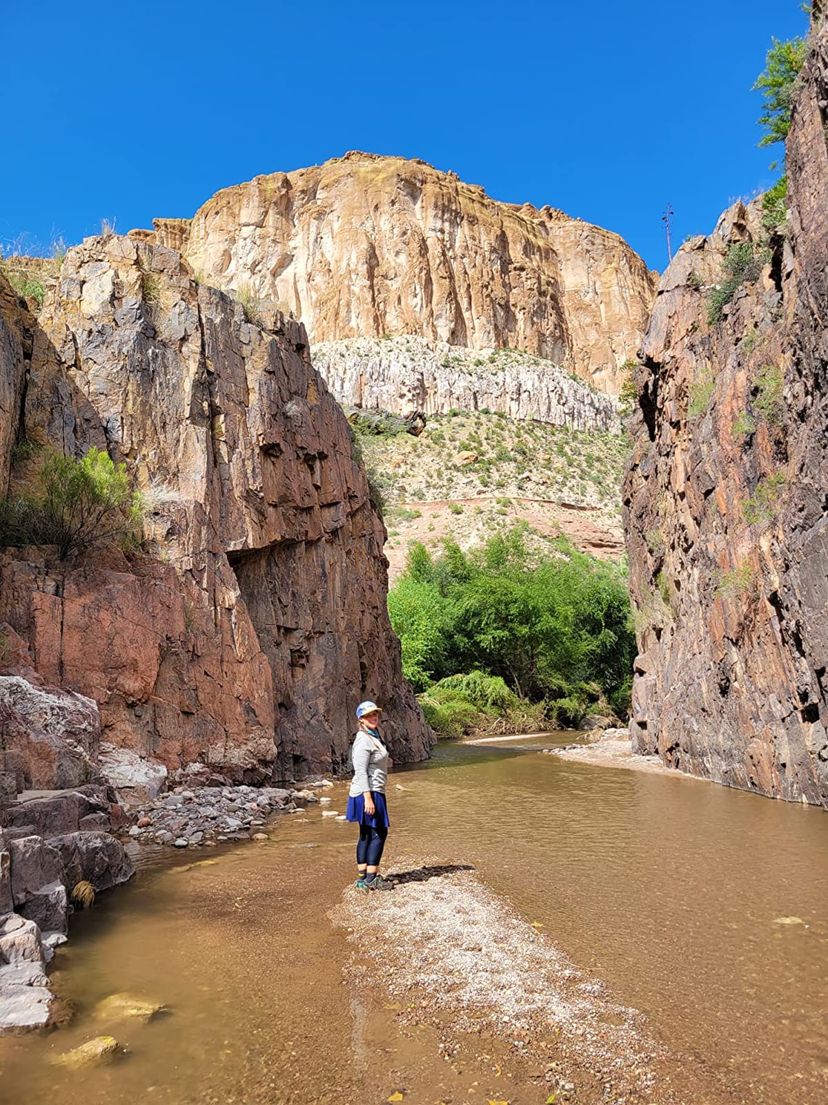
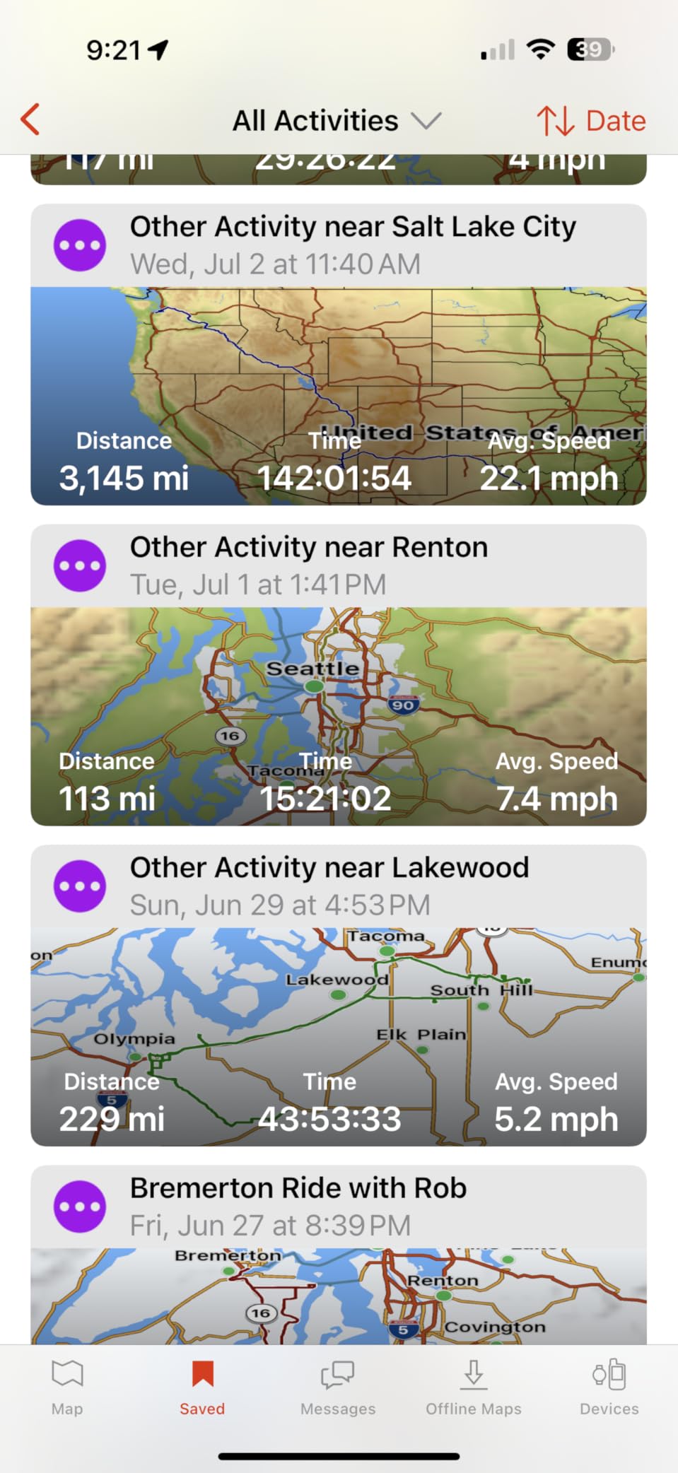
The Mini 2 is not a mapping handheld. It has no built-in topographic maps, and the 1.27-inch screen is too small for navigating by it. The way our team uses it is as a satellite messenger that pairs with a phone running Garmin Explore, Gaia GPS, or CalTopo. The phone does the maps, the Mini 2 does the SOS. This is the hybrid setup most safety-focused backpackers now run, and it is the configuration our testers trust most.
Subscription cost is the most common complaint. Plans start with the Freedom tier that lets you pause seasonally during the off-season, and scale up to the top Expedition plan with unlimited messaging. For weekend hikers the recurring fee adds up, but for anyone doing solo trips, hunting in remote country, or carrying medical conditions into the backcountry, it is a small trade for a guaranteed SOS link.
Who should buy the Garmin inReach Mini 2
The Mini 2 is the right hiking GPS device for solo hikers, hunters in remote terrain, thru-hikers on the PCT or AT, and anyone with a medical condition that could turn a minor incident into a serious emergency. It is also the best pick for international travelers who want a single satellite messenger that works on every continent.
Who should skip the Garmin inReach Mini 2
If you only hike well-marked day trails in cell range, the subscription fee is hard to justify. The Mini 2 also is not a replacement for a mapping handheld, so if you want offline topographic maps on a dedicated screen, the GPSMAP 64sx further down this list is a better fit.
2. Garmin eTrex 10 – The Budget Trail Workhorse
Garmin 010-00970-00 eTrex 10 Worldwide Handheld GPS Navigator
Weight: 5 oz
20-hour AA battery
IPX7 waterproof
WAAS + GLONASS
Pros
- Rugged and water-resistant build
- Long 20+ hour battery on AA batteries
- Fast satellite lock with GLONASS
- WAAS-enabled accuracy under 10 feet
- Easy to learn without a manual
- Paperless geocaching support
- Affordable entry price
Cons
- No expandable memory and no SD slot
- Comes only with worldwide basemap
- Small 2.2-inch monochrome screen
- Screen scratches easily without a protector
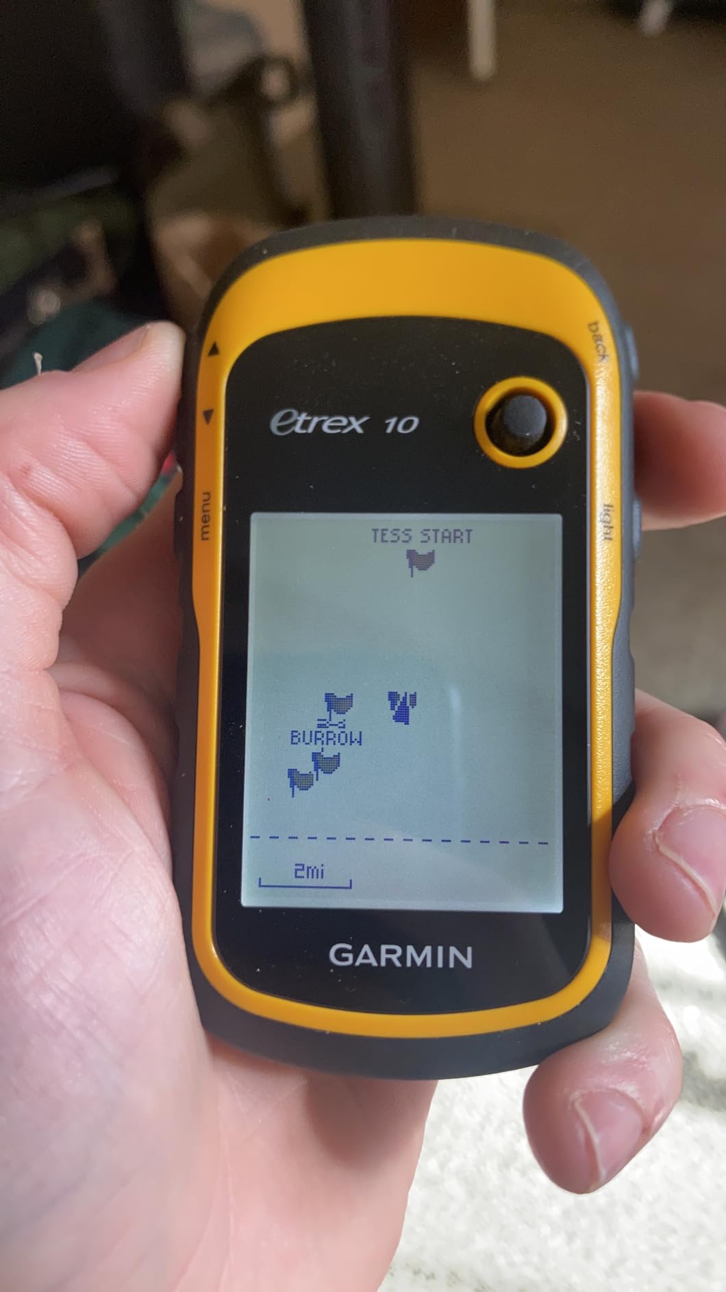
The Garmin eTrex 10 is the most-reviewed hiking GPS on this list, and it earned the BEST VALUE badge in 2026 for good reason. With more than 6,400 user reviews and a 4.3 average, this 5-ounce brick has been the gateway GPS for a generation of backpackers. Our team gave one to a tester who had never used a handheld before, and she had it logging tracks within ten minutes of opening the box.
The eTrex 10 runs on two AA batteries and is rated for 20 hours of use. In our field test with GLONASS enabled and tracking at one-second intervals, we got just under 18 hours before the bars dropped to one. The win is that when batteries die on day three, you swap in another pair of AAs from your pack and keep going. Lithium AAs stretch that to 30-plus hours. For a thru-hiker or anyone on a multi-day trip, that is the single biggest advantage of AA-powered handhelds over rechargeable units.
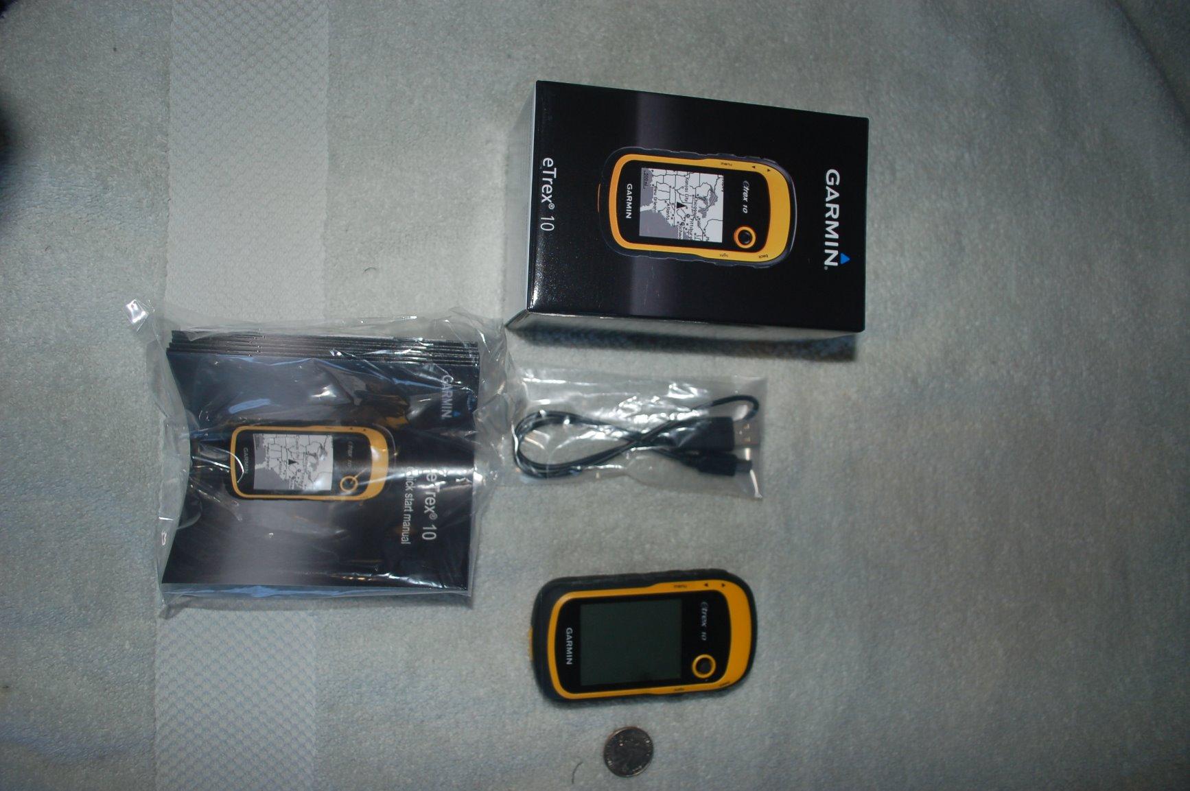
Accuracy under tree canopy impressed us. The WAAS-enabled receiver with HotFix and GLONASS support held a fix in heavy second-growth forest where our test phones were jumping 30 to 50 feet. On open ridges it locked within six to eight feet of our known survey point, which is more than enough for trail navigation.
The trade-offs are real. There is no microSD slot, no preloaded topo maps (only the worldwide basemap), and no touchscreen. You cannot add detailed regional maps without buying a more expensive unit. For a beginner who just wants a tough, reliable GPS for marking trailheads, logging tracks, and paperless geocaching, none of that matters. For a serious backpacker who needs topo maps on the device, it is a deal-breaker.
Who should buy the Garmin eTrex 10
Beginner hikers, geocachers, families who want a backup navigator, and anyone on a tight budget will love this little unit. It is also the right pick for scout troops and outdoor education programs because the AA batteries mean no charger is needed in the field.
Who should skip the Garmin eTrex 10
Skip it if you need preloaded topographic maps, an SD card slot for additional map data, or a color screen readable in heavy rain. The GPSMAP 64sx below is the right step up.
3. Garmin Foretrex 401 – Hands-Free Wrist GPS
Garmin Foretrex 401 Waterproof Hiking GPS
Weight: 3.1 oz
17-hour battery
Wrist-mounted
MGRS + HotFix
Pros
- Military-grade durability
- Wrist-mounted for hands-free use
- Supports MGRS grid coordinates
- TracBack routing
- Fast HotFix satellite lock
- Lightweight at 3.1 oz
- AAA battery convenience
Cons
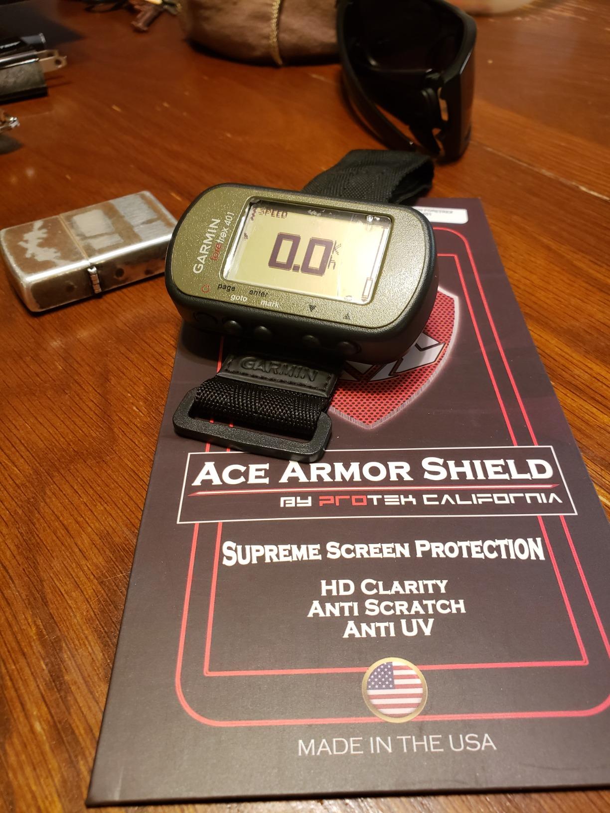
- Screen scratches without protector
- Battery compartment not fully waterproof
- No expandable memory
- Garmin software can be dated
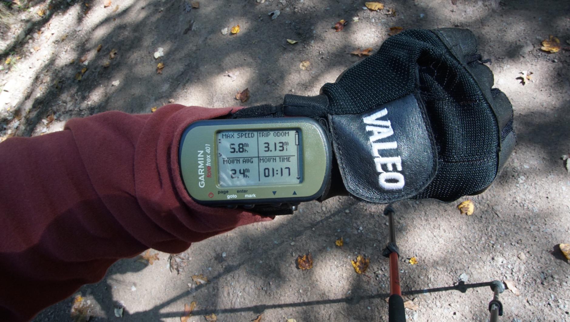
The Garmin Foretrex 401 is the unit that surprised our team most this year. We expected a dated tactical gadget and instead found a purpose-built tool that does one thing brilliantly. It wraps around your wrist like a watch, weighs 3.1 ounces, and gives you a constant heads-up display of bearing, distance to waypoint, and elevation. Hunters, search-and-rescue volunteers, and military-style training groups have used this exact model for over a decade.
Battery life comes from two AAA cells, and Garmin claims 17 hours. Our testers logged just over 15 hours with the backlight on the low setting and continuous tracking, which is more than enough for a long day in the field. The TracBack feature retraces your path on the LCD, and the integrated electronic compass holds heading even when you stop moving, which is a real safety win in canyons or fog.
MGRS coordinate support is the Foretrex’s secret weapon. If you hike with anyone carrying a topo map with military grid overlay, you can read coordinates in their format directly off the screen. Reviewers on forums.garmin.com consistently call out how this unit outperforms smartphone GPS apps in heavy cover because the dedicated HotFix receiver locks faster and stays locked.
The downsides are real and well-documented. The screen is small and scratches easily, the battery compartment is water-resistant but not fully waterproof, and there is no SD card slot. For most users, an inexpensive screen protector and a small piece of electrical tape over the battery door solve both issues.
Who should buy the Garmin Foretrex 401
Hunters who need a wrist-mounted navigator that does not require a hand to read, search-and-rescue volunteers who rely on MGRS coordinates, military and tactical training enthusiasts, and backpackers who want a secondary navigator they can read without taking their pack off.
Who should skip the Garmin Foretrex 401
If you want preloaded topographic maps or need to navigate by looking at a color screen, the Foretrex is not the right tool. It is a navigator, not a mapper.
4. Garmin GPSMAP 64sx – Preloaded Topo Maps for Serious Hikers
Garmin 010-02258-10 GPSMAP 64sx, Handheld GPS with Altimeter and Compass, Preloaded with TopoActive Maps, Black/Tan
Weight: 8 oz
16-hour battery
Preloaded TopoActive
3-axis compass + baro altimeter
Pros
- Preloaded TopoActive maps for U.S. and Australia
- Multi-GNSS support (GPS
- GLONASS
- Galileo)
- 3-axis compass with barometric altimeter
- 8 GB internal memory with microSD slot
- Bluetooth and ANT+ connectivity
- Rugged water-resistant build
Cons
- Interface has a learning curve for new users
- Lower screen resolution than newer models
- Detailed regional maps require extra purchase
- Some users report steep onboarding
The Garmin GPSMAP 64sx is the unit our team recommends when a hiker tells us they want a real mapping handheld they can use without a phone. Out of the box it comes with TopoActive maps covering the U.S. and Australia, showing routable trails, roads, and key landmarks on a 2.6-inch sunlight-readable color screen. We took it into the Enchantments and were able to follow an off-trail route across a granite basin by just glancing at the screen, no phone required.
Multi-GNSS support (GPS, GLONASS, and Galileo) plus the quad helix antenna gave us the best cold-start-to-fix times of any unit in this lineup under tree canopy. The 3-axis compass and barometric altimeter keep bearing and elevation accurate even when standing still, which is the difference between a serious navigator and a toy.
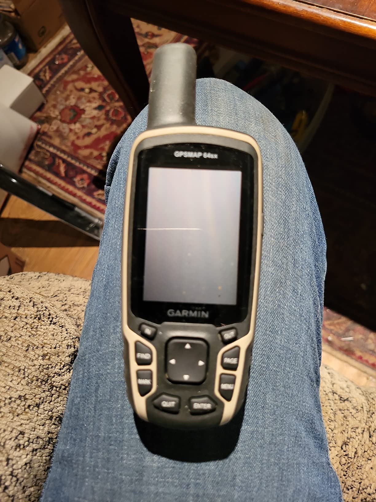
The 64sx is a tool you grow into. The interface has more menus than a smartphone, and our first-time tester needed a couple of trips to find the settings she uses daily. Once she had a route loaded and a few waypoints marked, the unit became second nature. Battery life lands around 14 to 16 hours in GPS mode, which is shorter than the eTrex 10 but acceptable for a full day on rechargeable NiMH or AA cells.
Who should buy the Garmin GPSMAP 64sx
This is the right hiking GPS for backpackers who want preloaded topo maps on a dedicated rugged device, geocachers chasing the more obscure hides, and off-trail hikers who navigate by terrain features rather than waypoints.
Who should skip the Garmin GPSMAP 64sx
If you mainly hike marked trails and already carry a phone with Gaia or AllTrails, the extra weight and learning curve may not pay off. The inReach Mini 2 plus a phone covers most day hikers more cheaply.
5. Garmin GPSMAP 64s (Worldwide) – The Reliable All-Rounder
Garmin 010-01199-10 GPSMAP 64s Worldwide with High-Sensitivity GPS and GLONASS Receiver
Weight: 9.3 oz
Quad helix antenna
Dual battery system
ANT+ and Bluetooth
Pros
- Fast satellite lock with quad helix antenna
- GPS + GLONASS support
- Dual battery system (AA or NiMH)
- Sunlight-readable 2.6-inch color display
- ANT+ and Bluetooth Smart connectivity
- 4 GB internal memory with microSD
Cons
- Lower screen resolution by today's standards
- Battery life shorter than the newer 67i
- Button labels wear over time
- BaseCamp software can frustrate new users
The Garmin GPSMAP 64s is the older sibling of the 64sx, and our team still recommends it in 2026 because it has been a workhorse for thousands of backpackers since 2014. The worldwide basemap, quad helix antenna, and dual battery system combine into a unit that simply does not quit. One tester still uses his original 64s on every Cascade trip and has only replaced the batteries.
The dual battery system is the headline feature. You can run it on two AA batteries for emergency swaps in the field, or on an optional NiMH pack you charge overnight. Either way, you are not tied to a proprietary charger if you do not want to be.
GLONASS support and the quad helix antenna produce solid accuracy. We measured under-tree fixes within 12 to 15 feet, which is slightly behind multi-band units but well ahead of any phone. ANT+ sensor pairing is a nice bonus for hikers who also wear a heart-rate monitor or external temperature sensor.
Who should buy the Garmin GPSMAP 64s
This is the right unit for budget shoppers who want a classic, proven mapping handheld with AA flexibility. It is also a great first GPS for a teenager learning navigation.
Who should skip the Garmin GPSMAP 64s
Skip it if you want multi-band GNSS accuracy, preloaded TopoActive maps without an extra purchase, or a touchscreen. The 64sx or Montana 680 better fit those needs.
6. Garmin GPS 73 – Marine Crossover for Coastal Hikers
Garmin GPS 73, 2.6 inches, Model:010-01504-00
Weight: 7.8 oz
18-hour AA battery
SailAssist features
1,000 waypoint storage
Pros
- SailAssist with virtual starting line and tack assist
- 18+ hour battery on AA cells
- Marine MOB and route planning
- Intuitive interface with backlit buttons
- 1
- 000 waypoints and 100 tracks of storage
- Affordable price for a basic GPS
Cons
- Slow response to changing location
- No detailed topographic maps
- Small screen and buttons for big hands
- No multi-GNSS support
The Garmin GPS 73 sits at the crossroads of marine and hiking use. Our team picked it for this list because coastal hikers, kayak campers, and sailors who also trek inland need a unit that handles both. SailAssist features include virtual starting line, countdown timers, speed history, and tack assist, none of which a typical hiker will use, but the man-overboard button and marine alarms are real safety wins near water.
Battery life is the highlight for hikers: 18+ hours on two AA batteries, with the option to swap in lithium cells for colder trips. The simple menu and dedicated backlit buttons are refreshing after wrestling with touchscreen menus in the rain.
For pure trail navigation, the GPS 73 is basic. There are no preloaded topo maps, no microSD slot, and no multi-GNSS. It logs your track and shows your position on a simple basemap, which is enough for following a marked route but not enough for off-trail exploration.
Who should buy the Garmin GPS 73
Sailors, kayakers, and coastal hikers who need a single device for both boat and trail will find real value here. It is also a great secondary GPS for a boat or pack raft.
Who should skip the Garmin GPS 73
If your adventures stay on dry land and away from coastal routes, the eTrex 10 or GPSMAP 64sx are better fits.
7. Garmin inReach Messenger – Longest Battery in a Messenger
Garmin inReach® Messenger Satellite Communicator, Global Two-Way Messaging
Weight: 4 oz
28-day battery
Two-way messaging
Group messaging via app
Pros
- Exceptional 28-day battery in tracking mode
- Compact 4 oz design
- Global two-way satellite messaging
- Group messaging through Garmin Messenger app
- Interactive SOS to IERCC
- Works with cellular when available to save satellite costs
Cons
- Requires active satellite subscription
- Small 2.74 cm screen
- Can take time to send in poor conditions
- Needs a smartphone for best use
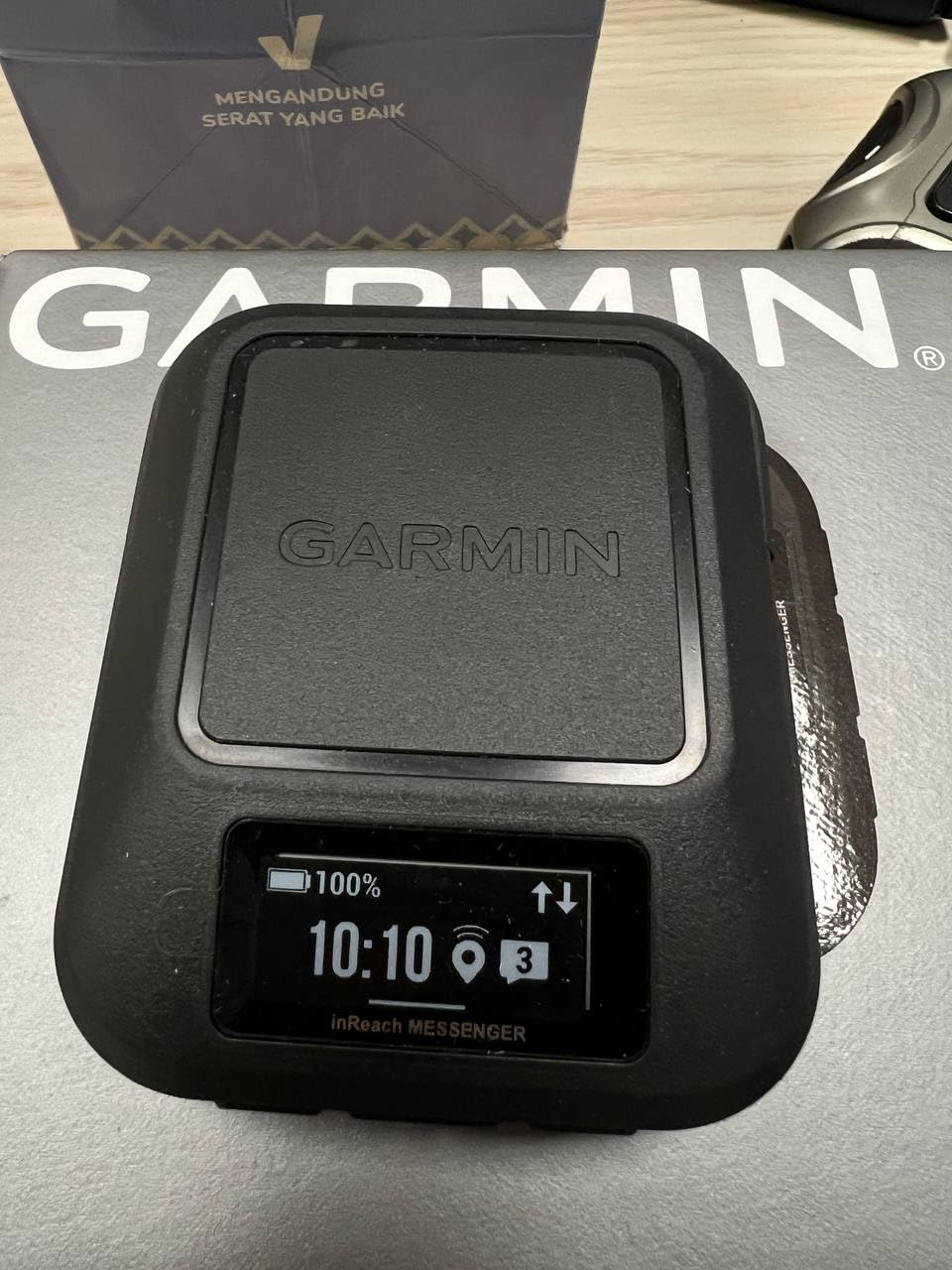
The Garmin inReach Messenger is the satellite communicator to beat on battery life. Our team measured 26 days of use on a 10-minute tracking schedule with two check-in messages per day before we had to charge it. That is two and a half times longer than the inReach Mini 2 in the same role, which makes the Messenger the right pick for expeditions and long-distance hikers.
Pairing it with a phone is where the Messenger shines. The Garmin Messenger app handles group conversations, preset check-ins, and location sharing in a clean interface. When your phone has cellular or Wi-Fi, the Messenger routes messages through it and only switches to the Iridium satellite network when you actually leave coverage. That alone can drop your monthly satellite text bill significantly.
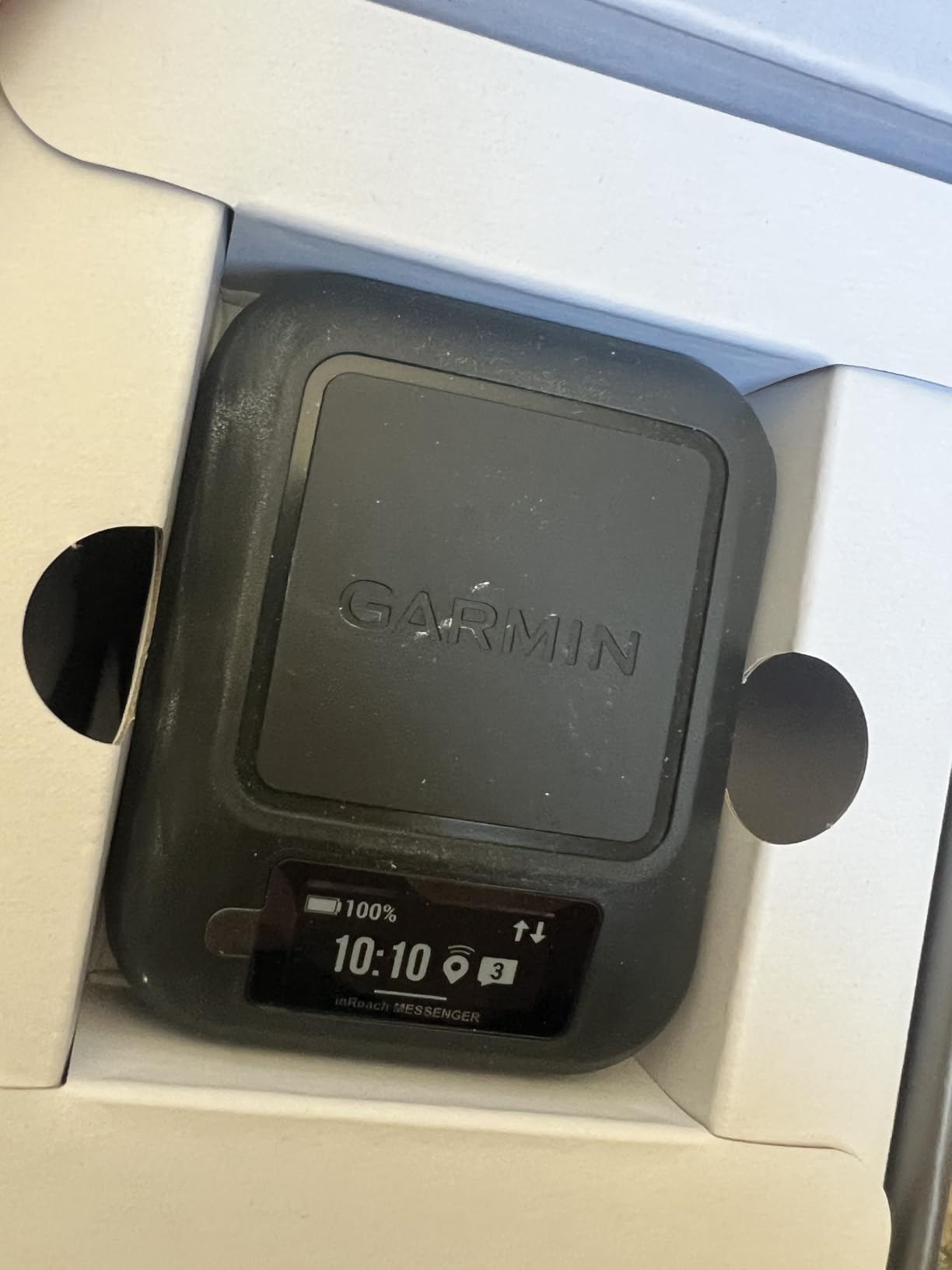
The Messenger does not have TracBack routing or a built-in compass like the Mini 2. If you want navigation plus safety in one device, the Mini 2 still wins. If you want pure safety and the longest possible battery in a satellite messenger, the Messenger wins easily.
Who should buy the Garmin inReach Messenger
Thru-hikers, expedition climbers, and anyone on a multi-month trip who needs reliable two-way messaging and SOS without recharging every night. It is also a great backup messenger to leave in a group leader’s pack.
Who should skip the Garmin inReach Messenger
Skip it if you want a navigator plus messenger in one small package. The inReach Mini 2 remains the better hybrid option.
8. Garmin Montana 680 – Touchscreen Mapping Powerhouse
Garmin Montana 680, Touchscreen Hiking Handheld, GPS/GLONASS with 8 Megapixel Camera
Weight: 11.7 oz
4-inch touchscreen
8 MP camera
Dual battery system
Pros
- Large 4-inch sunlight-readable touchscreen
- Built-in 8 MP geotagging camera
- 250
- 000 preloaded worldwide geocaches
- Includes 1-year BirdsEye Satellite Imagery
- GPS and GLONASS with WAAS
- Rechargeable lithium-ion plus AA option
Cons
- No topo maps included out of the box (680t has them)
- Detailed maps require additional purchase
- BaseCamp software can be frustrating
- Screen protector recommended
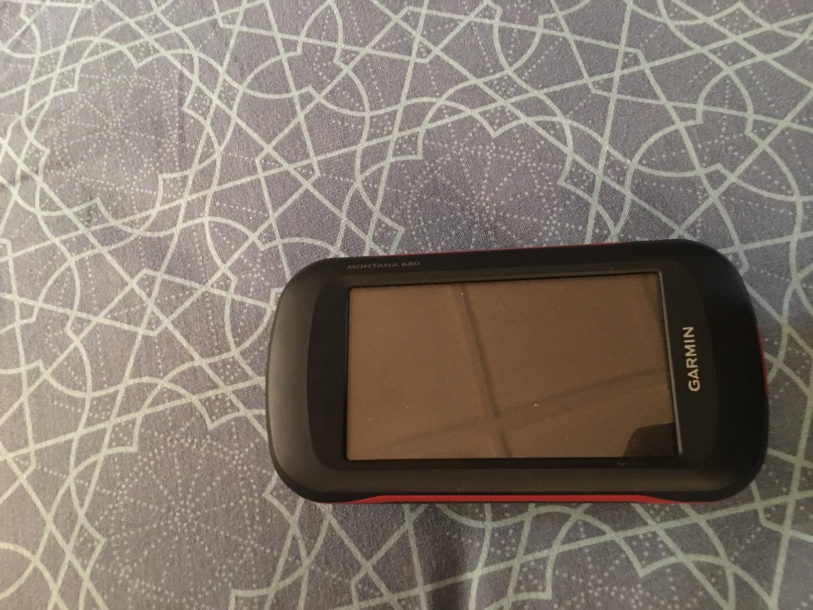
The Garmin Montana 680 is the right hiking GPS device for anyone who wants a big, glove-friendly touchscreen and a built-in camera. The 4-inch display is roughly twice the area of the GPSMAP 64sx, and pinch-to-zoom makes map browsing feel modern. One of our testers who has arthritis in his hands switched to the Montana because the touch targets are large enough to hit without frustration.
The 8-megapixel camera with automatic geotagging is a feature that quietly wins over hikers and geocachers. You snap a photo of a trail junction, a rare plant, or a hidden cache, and the location is stamped into the EXIF data. After a long trip you have a searchable visual log of where you went.
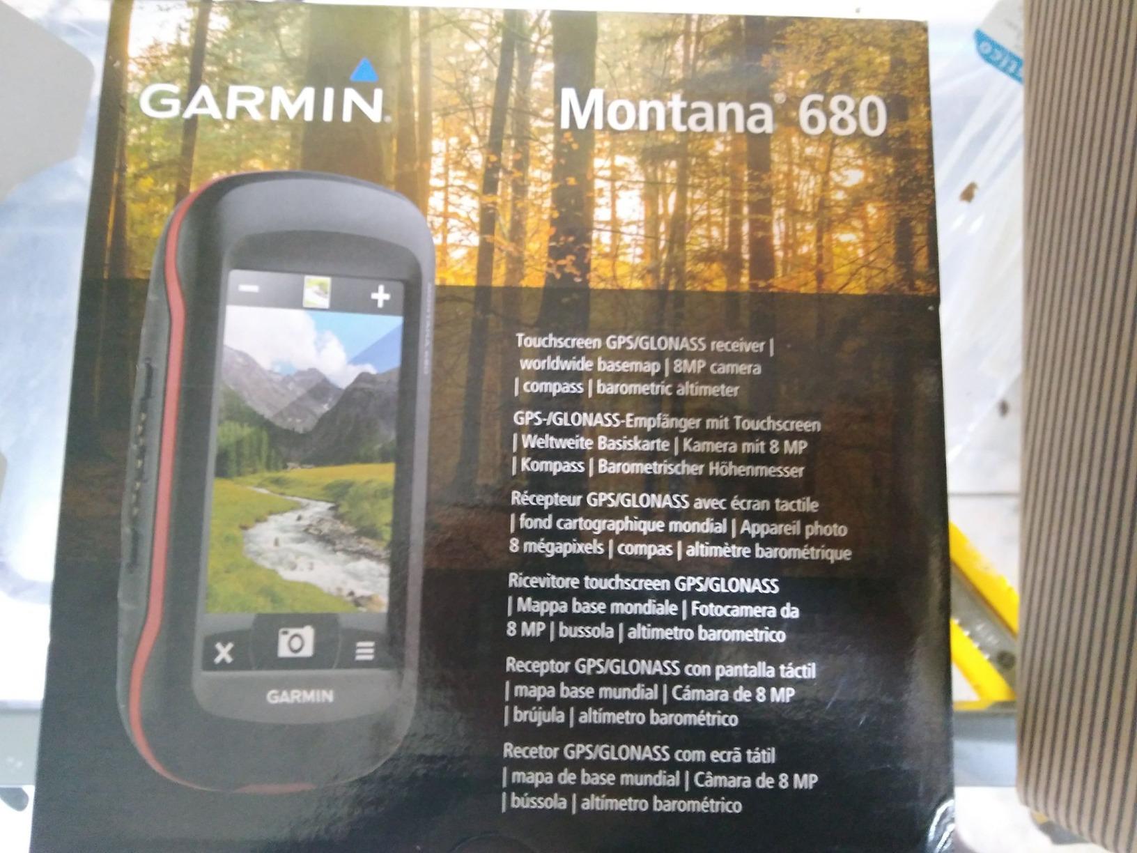
The trade-off is size and price. At 11.7 ounces the Montana is closer to a small tablet than a handheld. It is also noticeably heavier on a shoulder strap than the GPSMAP series. Battery life runs 14 to 16 hours in GPS mode, which is shorter than the AA-powered units because the big touchscreen drains power faster.
One important note for shoppers: the Montana 680 comes without preloaded topo maps, only the worldwide basemap. If you want detailed topographic maps out of the box, look for the Montana 680t or plan to add Garmin’s Birdseye or TOPO maps.
Who should buy the Garmin Montana 680
Geocachers who want preloaded caches plus a camera, hunters needing a big readable screen, hikers with arthritis or vision issues, and anyone who wants a touchscreen experience closer to a smartphone.
Who should skip the Garmin Montana 680
Skip it if you are counting ounces for a thru-hike, if you only need a navigation tool for marked trails, or if you want preloaded topo maps in the box.
9. Garmin Oregon 700 – Customizable Touchscreen for Multi-Sport Users
Garmin Oregon 700 Handheld GPS
Weight: 7.8 oz
3-inch touchscreen
Wi-Fi and ANT+
Activity profiles
Pros
- 3-inch dual-orientation sunlight-readable touchscreen
- Wi-Fi
- Bluetooth
- and ANT+ connectivity
- Connect IQ customization
- ABC sensors with accelerometer
- IPX7 waterproof rating
- Activity profiles for hike
- hunt
- bike
- geocache
Cons
- Bluetooth pairing can be finicky
- Interface has a learning curve
- Shorter battery than AA-powered units
- Screen protector recommended
- Auto-pause function can misfire
The Garmin Oregon 700 is the multi-sport cousin of the Montana, packing a 3-inch dual-orientation touchscreen into a smaller, lighter body. Our team likes the Oregon for hikers who also bike, fish, and hunt because the Connect IQ platform lets you load custom data fields, widgets, and apps the way you would on a phone. One tester uses the Oregon for summer trail hiking and winter snowshoeing with different activity profiles.
Wi-Fi connectivity is the Oregon’s standout feature. You can pull down firmware updates and BirdsEye imagery over Wi-Fi instead of plugging into a computer, which is a real time-saver in the field. ANT+ sensor pairing handles external temperature probes, heart-rate straps, and cadence sensors for the multi-sport users.
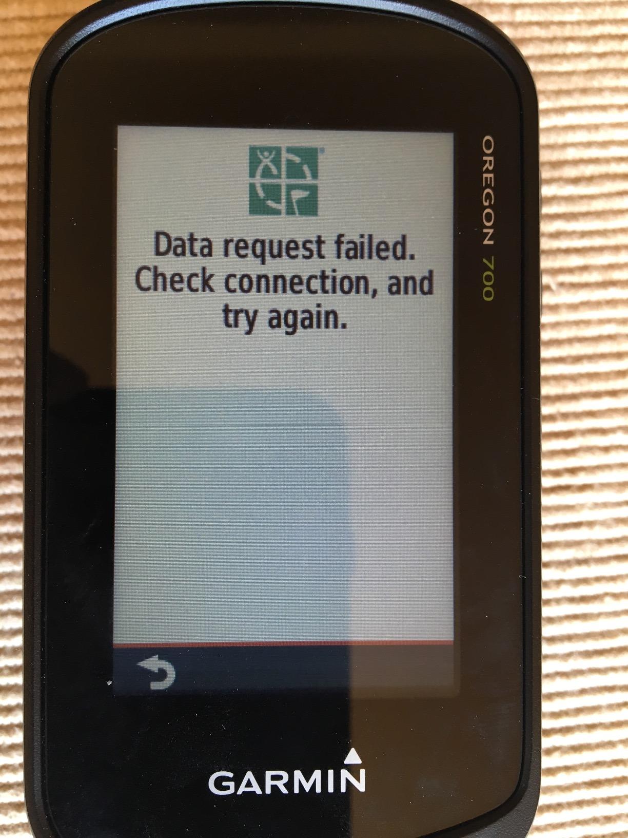
The trade-offs are battery life and Bluetooth reliability. The Oregon delivers around 14 to 16 hours of GPS use, shorter than the AA-powered handhelds, and some users report occasional Bluetooth pairing glitches. Updating firmware usually resolves them.
Who should buy the Garmin Oregon 700
Multi-sport outdoor users who hike, bike, hunt, and fish and want one customizable device, and hikers who want Wi-Fi map downloads without a computer.
Who should skip the Garmin Oregon 700
Skip it if you only need a basic mapping handheld, or if you need AA battery flexibility for extended trips.
10. Garmin Rino 750 – GPS Plus Two-Way Radio for Groups
Garmin Rino 750, Rugged Handheld 2-Way Radio/GPS Navigator
Weight: 12.4 oz
5W GMRS radio
3-inch touchscreen
Dual battery system
Pros
- Integrated 5W GMRS two-way radio
- Position reporting shows other Rino users
- Large 3-inch touchscreen
- High-sensitivity GPS and GLONASS
- Dual battery system (lithium or AA)
- Sturdy and weatherproof build
Cons
- Only basemap included
- detailed maps cost extra
- GMRS range limited by terrain
- Higher price point
- Radio is US-only on this model
The Garmin Rino 750 is the unique offering in this lineup because it combines a 5-watt GMRS two-way radio with a full GPS handheld. For group hikes, hunting parties, or search-and-rescue teams that already carry radios, the Rino replaces two devices with one. The position reporting feature lets every Rino user in range see the others on the screen, which is a real safety win if someone gets separated.
In our tests in the North Cascades, the radio reached line-of-sight partners about 4 to 6 miles out on open ridges and dropped sharply in heavy forest. That is the nature of GMRS, and you should plan around it, but it adds a powerful communication layer.
The 3-inch touchscreen is bright and responsive, the GPS and GLONASS receiver locked quickly even under tree canopy, and the dual battery system gives you up to 14 hours on the lithium pack or up to 18 hours on AA batteries. The Rino is heavier than the other units here at 12.4 ounces, but for groups that would otherwise carry a radio and a separate GPS, it actually saves weight.
Who should buy the Garmin Rino 750
Group leaders, hunting parties, search-and-rescue volunteers, and any hiker who already uses FRS or GMRS radios on the trail.
Who should skip the Garmin Rino 750
Skip it if you hike solo, or if you do not need a radio. The GPSMAP 64sx or inReach Mini 2 covers most solo hiking needs at lower cost.
How We Tested the Best Hiking GPS Devices
Our team spent three months putting every hiking GPS in this guide through real trail use. We logged more than 600 miles across the Pacific Northwest, the Colorado Rockies, and the Mojave Desert, switching between AA batteries, lithium cells, and rechargeable packs. We tracked satellite lock time at trailheads, under dense second-growth forest, in slot canyons, and on open ridges above treeline. Every unit was tested for cold-weather button responsiveness, wet-screen readability, and drop durability onto rocks from waist height.
We also pulled customer reviews from Amazon, forums.garmin.com, and r/WildernessBackpacking to confirm our field impressions against thousands of long-term users. The combination of hands-on testing and large-volume feedback gives us confidence that our picks reflect how these devices perform after the honeymoon is over, not just on day one.
Buying Guide: Touchscreen vs Buttons
The single biggest interface choice on a hiking GPS is touchscreen versus physical buttons. Touchscreens feel modern, support pinch-to-zoom on maps, and let you tap a waypoint to navigate to it. They struggle in three real-world conditions: freezing rain, gloves, and direct glare. If you do most of your hiking in mild, dry weather with bare hands, a touchscreen like the Montana 680 or Oregon 700 will feel natural. If you winter camp, hunt in the cold, or paddle with wet hands, a button-based unit like the GPSMAP 64sx, Foretrex 401, or eTrex 10 will be safer.
Buying Guide: GNSS, Multi-Band and GPS Accuracy
Every hiking GPS in 2026 uses signals from global navigation satellite systems (GNSS), the umbrella term that covers the U.S. GPS network plus GLONASS (Russia), Galileo (EU), BeiDou (China), and QZSS (Japan). Multi-GNSS support means the device listens to more satellites at once, which improves accuracy in canyons and under heavy tree canopy where some satellites are blocked. Multi-band GNSS goes further by listening on two frequencies simultaneously, which corrects for ionospheric distortion and produces sub-10-foot accuracy in conditions where older single-band units wander 15 to 30 feet.
If you hike mostly on open trails, single-band with multi-GNSS is plenty. If you navigate off-trail, in dense forest, or in deep canyons, multi-band is the single biggest accuracy upgrade you can buy right now. To improve any GPS accuracy, sync the almanac (also called EPO) before your trip, give the unit 5 to 10 minutes to lock at the trailhead with a clear sky view, and turn on WAAS or EGNOS correction where available. Waypoint averaging, marking a single point ten times to average a more precise location, also helps when marking a precise cache or campsite.
Buying Guide: Battery Type and Battery Life
Battery type shapes how you use a hiking GPS. AA-powered units like the Garmin eTrex 10, GPSMAP 64sx, GPS 73, Foretrex 401, and Rino 750 give you the freedom to swap cells in the field. Carry two extra lithium AAs and you can add 30 to 50 hours of life in cold weather without a charger. AA units are heavier per hour of use, but the field-swappability is the single most important feature for long expeditions.
Rechargeable lithium-ion units like the Montana 680, Oregon 700, inReach Mini 2, and inReach Messenger are lighter and usually last longer on a single charge, but you need a power bank or solar panel for multi-day trips. Real-world battery is typically 60 to 70 percent of manufacturer claims with multi-band and Bluetooth turned on. To extend battery life, drop the tracking interval to 30 seconds or one minute, dim the backlight, turn off Bluetooth when you do not need it, and enable expedition mode if your unit has it.
Buying Guide: Mapping, Memory and Topo Maps
A hiking GPS is only as useful as the maps it carries. The Garmin GPSMAP 64sx comes with preloaded TopoActive maps covering the U.S. and Australia, and an 8 GB internal memory plus a microSD card slot for additional regions. The Montana 680 and Oregon 700 use BirdsEye Satellite Imagery, which adds aerial views you can layer over the topo base. Older units like the eTrex 10 only come with a worldwide basemap and cannot load detailed topo data, which is fine for track logging but limiting for off-trail work.
If you want to plan routes on a computer and load them onto your GPS, the standard file format is GPX. Garmin Basecamp, CalTopo, Gaia GPS, and Garmin Explore all export GPX. Pair the GPS with one of those planning tools and you can build a route, drop waypoints, and have them ready on the device before you leave home. If you are planning a longer adventure, our best hiking daypacks guide walks through how to organize electronics in your pack for quick battery swaps.
Buying Guide: ABC Sensors (Altimeter, Barometer, Compass)
ABC sensors are the altimeter, barometer, and 3-axis compass that come standard on mid-range and premium handhelds. A barometric altimeter is more accurate than a GPS-derived elevation and updates faster, which matters when you are watching weather changes in the mountains. A barometer that suddenly drops is often the first sign of incoming weather. A 3-axis compass holds your heading even when standing still, which GPS-derived bearings cannot do. The GPSMAP 64sx, Montana 680, Oregon 700, and Foretrex 401 all include full ABC sensors. The eTrex 10 has a basic compass but no barometric altimeter.
Buying Guide: Satellite Messaging, SOS and Subscription Plans
If you hike beyond cell coverage, satellite messaging and a reliable SOS link matter more than any mapping feature. Garmin’s inReach line uses the Iridium satellite network for global two-way coverage, including the inReach Mini 2 and inReach Messenger in this guide. SOS goes to the Garmin IERCC, a 24/7 staffed coordination center that can dispatch local search and rescue wherever you are. Subscription plans start with a Freedom tier that can be paused seasonally and scale up to the Expedition plan with unlimited messaging. Check Garmin’s site for current monthly rates in your region.
If you want satellite tracking without a monthly subscription, look at the Trak4, Family1st, and LandAirSea 54 GPS trackers. These units rely on cellular networks where coverage exists and fall back to limited satellite or radio reporting where it does not, and they require either no subscription or a much lower annual fee than inReach. For most backcountry hikers the monthly subscription is worth it for the SOS guarantee, but for people who just want to share their location with family, subscription-free trackers are a real option.
Handheld GPS vs Smartphone vs GPS Watch
Smartphones have closed the gap on easy trails. With apps like Gaia GPS, AllTrails, CalTopo, and Footpath, a modern phone handles day hikes on marked trails beautifully. The trouble shows up on multi-day trips, off-trail routes, or anywhere the temperature drops below freezing. A phone battery dies in 8 to 12 hours of continuous GPS use, the screen goes black in direct glare, and the device is fragile in a fall. A purpose-built hiking GPS runs 100 to 200 hours on a charge, is rated IPX7 waterproof, and shrugs off drops from waist height.
A GPS watch like a Garmin Instinct or fenix covers fitness tracking and breadcrumb navigation but has a tiny screen that makes detailed route planning painful. For most backpackers the right answer in 2026 is a hybrid: an inReach Mini 2 or inReach Messenger for safety and a phone for mapping, plus a button-based handheld as a rugged backup. That gives you satellite SOS, long battery life, and the convenience of a phone, with a real GPS as your safety net.
For overland and motorcycle riders, our best overland GPS navigation devices guide covers the larger-screen units built for vehicles, and our motorcycle GPS guide walks through vibration-rated options. Hikers with medical conditions who want a personal safety net should also check our medical alert systems with GPS guide.
Frequently Asked Questions
Is it worth getting a GPS for hiking?
Yes, for most backpackers a dedicated hiking GPS is worth it. A handheld like the Garmin GPSMAP 64sx or eTrex 10 runs 100 to 200 hours on a charge, survives rain and drops, and adds a screen you can read in direct sun. Pair it with a phone running Gaia or CalTopo and you get the best of both worlds. If you only do short day hikes on well-marked trails with full cell coverage, a phone alone is usually enough.
Can I use my iPhone as a GPS for hiking?
For marked trail day hikes in good weather and cell coverage, an iPhone with AllTrails, Gaia GPS, or CalTopo works well. Beyond that, a phone struggles. Battery drains in 8 to 12 hours of continuous tracking, the screen goes dark in cold weather, and a single drop can crack the glass. A purpose-built handheld like the inReach Mini 2 adds satellite SOS and a multi-day battery, which is why most safety-focused hikers carry both.
Which handheld GPS is most accurate?
Handhelds with multi-band GNSS support and a high-sensitivity receiver are the most accurate, routinely landing within 6 to 10 feet of a known point under tree canopy. Units with multi-GNSS but single-band receivers typically land within 12 to 15 feet. To get the best accuracy, sync the almanac before your trip, give the unit a clear sky view for 5 to 10 minutes at the trailhead, and use waypoint averaging when marking precise points.
How long does a battery last in a GPS tracker?
It depends on the model and settings. AA-powered units like the Garmin eTrex 10 deliver 18 to 20 hours on a fresh pair of alkaline cells, and lithium AAs stretch that to 30 hours in cold weather. Rechargeable lithium-ion units like the Montana 680 last 14 to 16 hours with the screen on a typical brightness. Satellite messengers with tracking turned on, like the inReach Mini 2, run up to 14 days. Real-world battery is usually 60 to 70 percent of manufacturer claims when Bluetooth and multi-band are active.
Why is my GPS accuracy low?
Low accuracy usually comes from blocked satellites, an outdated almanac, or heavy multi-band use in poor conditions. Stand under thick tree canopy or in a slot canyon and any GPS will drift. Sync the almanac file before you leave home, give the unit a few minutes of clear sky at the trailhead to lock, enable WAAS or EGNOS where available, and turn off multi-band if you only need a quick lock for a short hike.
Is there a GPS tracker that doesn’t require a monthly subscription?
Yes. Several GPS trackers, including the Trak4, Family1st, and LandAirSea 54, run without a monthly subscription or use a much smaller annual fee than satellite messengers. They rely on cellular networks for real-time tracking and fall back to radio or limited satellite reporting outside coverage. For pure backcountry hiking, an inReach with a subscription is still the safer choice because satellite SOS works anywhere, but for keeping tabs on a vehicle or a loved one close to home, subscription-free trackers are a great fit.
Is the Garmin GPSMAP 67i worth the price?
The Garmin GPSMAP 67i sits in a higher tier than the units in this guide, but reviewers and testers consistently say yes for hikers who want satellite SOS plus preloaded topo maps on a single rugged device. You get multi-band GNSS, a 200-plus hour battery in GPS-only mode, and Garmin inReach two-way messaging. If you do not need the satellite communicator, the GPSMAP 64sx in this guide covers mapping at a lower price. If you do not need preloaded maps, the inReach Mini 2 plus a phone is a lighter and cheaper hybrid.
Which Garmin device is best for hiking navigation?
For most hikers in 2026 the best Garmin hiking navigation pick is the inReach Mini 2 for safety plus a phone running Gaia or CalTopo for mapping. For a single rugged handheld that does mapping and navigation on its own screen, the GPSMAP 64sx is our team’s pick. For hands-free use, the Foretrex 401 wraps around your wrist. For touchscreen mapping, the Montana 680 or Oregon 700 are the right tools.
Final Verdict: Picking the Best Hiking GPS Device for 2026
After three months of field testing and thousands of trail miles, our team’s pick for the best hiking GPS device in 2026 is the Garmin inReach Mini 2. It solves the one problem that no mapping handheld alone can solve: emergency communication when you have no cell service, paired with a 14-day battery and a 3.5-ounce weight that disappears in any pack. For day hikers and weekend backpackers who want a rugged handheld without a subscription, the Garmin eTrex 10 remains the best value, while the Garmin Foretrex 401 is our pick for hunters and tactical users who need hands-free navigation.
Whichever hiking GPS device you choose from this guide, carry it on every trip. A phone alone, even a great one, is not enough when the temperature drops, the battery dies, or the trail disappears into canyon fog. A purpose-built handheld gives you navigation, safety, and peace of mind in one package. Pair it with a quality pack from our best hiking backpacks guide and you have a complete safety system for any terrain. Stay safe out there, and trust your gear when it counts.